Embedded Files
Date: Feb 1, 2014
No. of days: 1 day
Distance: ~10miles
Trail: Mt. Manuel Trail (Trail head at Pfeiffer Big Sur State Park – Parking Lot #3 Signage present for all parking lots).
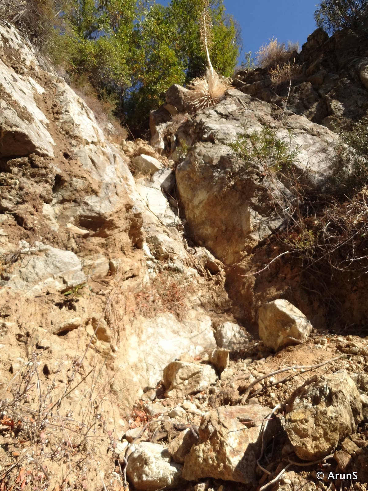
Difficulty: Moderate (Trail is unmaintained with landslide cutting off sections of trail. Need to carefully traverse those areas. Trail overgrown and bushwhacking almost half the way).
Permit: Entrance for car ($10)
More Info: Redwoods Hike Link SummitPost EveryTrail (Do go to the survey marker. Not on this everytrail link)
Picasa Web Album Link: here


Trail Topo: (yet to come)
This has been the quickest hike decision yet when considering I organized this hike. I was supposed to go skiing over the weekend but due to work, I had to cancel that plan. Obviously, staying back home wasn’t an option so a search on summit post, Everytrail and I was set for this hike. Two other brave souls who accompanied me on this hike were Sathya and Avinash. We decided to meet up at my place in the morning at around 7am and head out from there. Things seem to always become memorable when I’m hiking so as the tradition goes, my car did not respond to the remote. I had to use the key to open it as per Vinay’s suggestion whom I incidentally met at Sathya’s place. Meddling around with the key isn’t such a good idea cause it triggered the theft alarm. Anyways stories aside, we took Avinash’s car. Left Sunnyvale at 7:50am and reached Pfeiffer Big Sur State Park at 9:45am. We started the hike at 9:50am.


The initial signage at parking lot #3 listed the trail to be 4miles in length. We started the hike on a somewhat tarred road. We reached a junction at which there was a trail marker that again read 4miles. That is when we saw the old, worn out - Manuel’s cabin. From there a signage indicated that the left fork lead to Oak Grove. We took the one that wasn’t marked. The day was just perfect for a hike with a temperature of 51 F and no clouds at all. The initial climb brought us to a fenced out building from where we got onto the actual Mt. Manuel trail. We walked passed the Oak Grove Trail intersection, which was cordoned off for some reason. If not, Oak Grove Trail -> Mt. Manuel trail is the defecto trail that people tend to use. Half passed 10, we were climbing steadily at a decent pace. This is where we were granted views of the valley. The mighty blue ocean beyond the mountains to the west was very prominent and extremely beautiful. This is one of the few hikes that allows you to witness massive mountains along with the calm waters of the ocean far beyond till the eyes could conceive. We met a man who seemed to be on the way back. On checking with him, he told us that since he was alone and the trail was pretty much destroyed at places, he had decided to turn back. I however had decided to go all the way to the top if it was not of extreme risk.
At about 11:30pm after the first point where the trail was destroyed mainly because of a landslide (Be careful here. Need to tread around that area very carefully), we were allowed the picturesque sight of mountains nested behind each other in what seemed to be layered in natural harmony. The trail was so thick with dry vegetation that we were literally bushwhacking all the way. This reminded me of trekking/hiking in India where clear trails are more of a luxury than a norm. The trail was pretty steep and was climbing steadily. It did not seem to have any flat patches or down hill gradient at all.

It would have been around 12:00pm when Avinash wanted to try something even more adventurous. So we decided to take the creek up some distance. We started scrambling up some pretty huge boulders and after a while we hit a vertical of about 10 feet. Avinash wanted to continue along but I have had enough experiences with climbing dried falls walls (Roundtop Hike). This was my first hike after a long time so I did not want to do anything that intense, at least not just yet. So I decided to stay back and ofcourse, we decided to get back to the trail (all for good). It was about a mile out and back from the main trail which was about 600 feet in elevation gain and loss.At 12:55pm we reached the summit. It was about 400m from the summit horizontally actually but that point had a great 270-degree view of the mountains and the sea stitched together in one view. To get to this point, one needs to take the right at the point where the trail continues ahead but there’s a reflexive right as well. That path opens up to a couple of tiny rocks that makes it an awesome place to relax and finish up lunch. A lot of pictures along with some panoramas followed a sumptuous meal – banana walnut cake and bananas. We also had good company of two more folks from San Francisco who hiked up behind us.

This trial and Mt. Manuel does not get many hikers, at least at the top owing to the fact that the trail is very unstable, dangerous and cut off at places due to landslides. At 1:40pm, we decided to head back down. Before that however, I wanted to really find the survey marker. So we walked about 400m towards what seemed like a black board. The marker was right there but views not as great as the place where we halted for lunch. A quick picture episode and we were chugging full speed down the mountain the same way we got up. If time permitted we could have taken the ridge all the way to Post Summit and from there followed the ridge down to CA-1. This however would require two cars – to be parked at both the ends of the trail or a very long walk on CA-1.


Going down wasn’t that much of fun. I suppose being a long time since I hiked in miles; this took quite a toll on my leg. I had a sore leg and was pretty happy to be down at the car by 3:50pm. We quickly stopped at the creek/river at the entrance to the state park and after that directly drove to the bay area. We did stop over at Chipotle (Santa Cruz) for a good meal. I reached Sathya’s home by 6:30pm marking my first hike of 2014 here in the US.


Google Sites
Report abuse