Embedded Files
Date: 07 May 2013
No. of days: 1/4th (3hrs)
Difficulty: Easy
Distance: 7 miles

Picasa Web Link: here
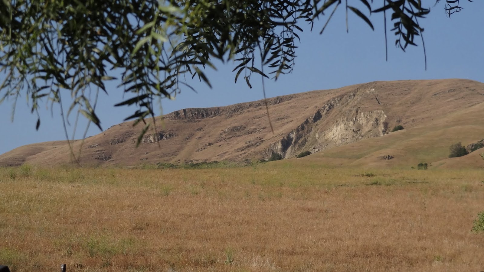
From the day I began hiking in the bay area, I’ve heard fellow hikers talk about mission peak and how a huge number of people climb up to the top. I wanted to do this hike for a long time now. Finally I decided to do it on the 7th of May with the San Jose hikers group.
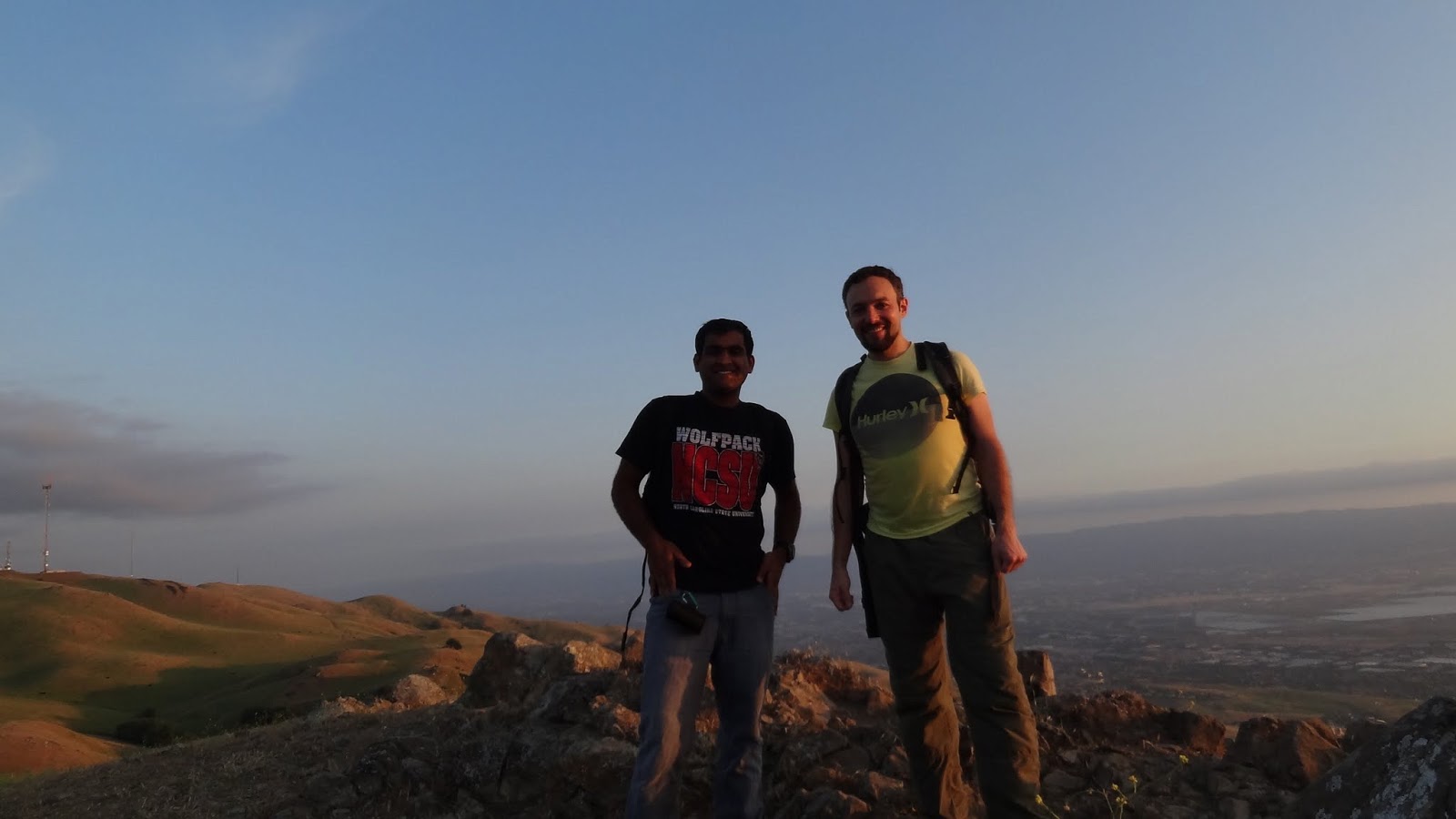
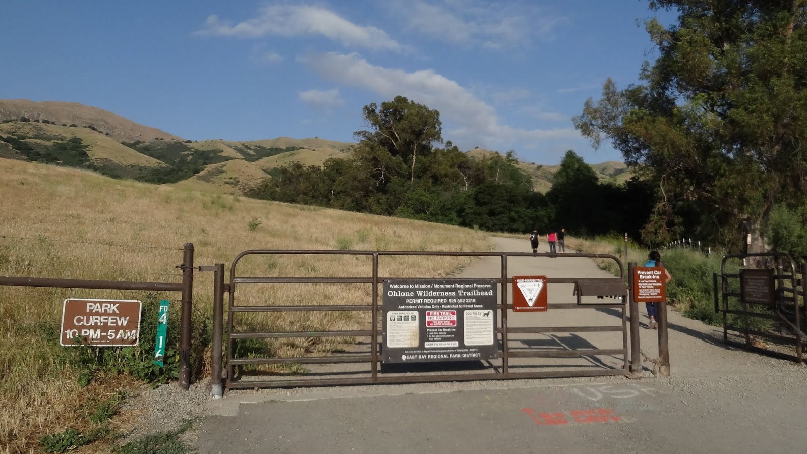
I had already RSVP’d once and missed the hike. This time I really didn’t want to. The hike was to start at 5:45pm from the Stanford Ave parking lot. I got there at 5:55pm (late) and missed the group. My friend Daniel arrived at 6:30pm and we started the hike at 6:45pm. The hike along the hidden valley trail (Ohlone wilderness trail) was pretty much a monotonous walk along the fire road. There were times when the gained altitude allowed me to have a peak at the wonderful city, mountains and the bay at a distance. The climb to the top had moderate inclination with multiple spots that were flat. I did take a couple of photographs along the way. I also wondered if we would be able to catch up to the group on the way up but there were just too many people. We reached the peak at 7:50pm.After spending about half an hour at the peak waiting for sunset, we took the peak trail -> horse heaven trail and then some backcountry route to join back to the ohlone wilderness trail. The decent was really fun as the sky was now lit by the collective luminance of the city lights. The peak also looked different and nice from this side compared to the trail during ascent. We reached the parking lot at 9:00pm putting the hike to an end with a total distance of 7miles. We should have taken the horse heaven trail to the parking lot. That would have been a better loop/trail instead of taking the fire road. *Note: Even water is not necessary for this hike on a relatively cool day.
*Note: Parking is a problem here. It’s free though.
*GPX file: (Recorded the hike – first time ever!!) here

Google Sites
Report abuse