Embedded Files
No. of days: ½
Date: 02 March 2013
Distance: 11 miles (Easy)

Picasa Web Album here
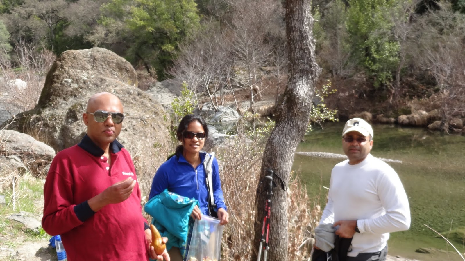
The Henry W. Coe State Park located in Morgan Hill was the hike destination for this weekend. This time around the group was small - Tissa, Aneesha, Srinath and I. As always we started out from near Tasman at 0805 hrs. The drive to the top of Morgan Hill was really nice. Most hikes in Henry W. Coe park started from the peak to the valley down below and back up to the “headquarters”.
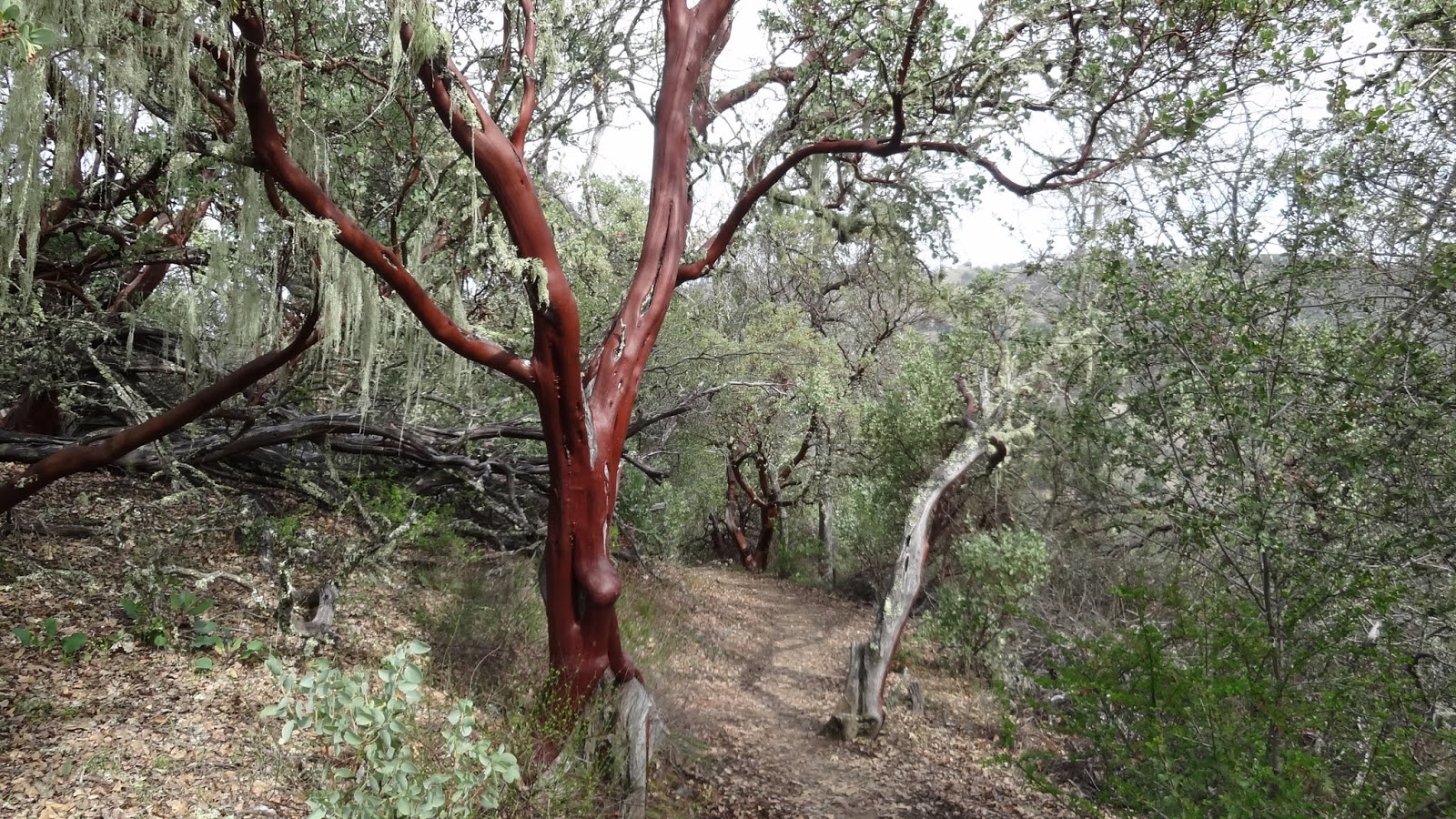
We started the hike at 0940 hrs. At the beginning, the trail was pretty simple. There were even steppings in one of the stretches. The weather was just right with a day temperature of 82 F. The trail itself has a natural canopy that makes the walk pleasant. The entire trail till China Hole was a descent so I got to click a lot of pictures on the way with stops here and there. We took the Corral trail -> Manzanita Point Road -> China Hole trail -> China Hole -> Mile Trail -> Madrone Trail -> Manzanita Point Road -> Soda Springs trail.The descent was along winding roads which reminded me of the Diablo Park hike to the five peaks. We were at the China Hole at 1100hrs.
We spent about 40 mins relaxing beside the calm soda spring river (or stream for the low water level). I took a couple of photos and we started our way back to HQ. We took the Mile trail to madrone. This was the best part of the trail. It wound criss cross along the stream. The trail seemed to be less used by hikers. It was a gradual ascent till Madrone. Oh yeah, we did double back for about a mile but since it was along the stream, it was more fun. The water at China hole was so inviting that we had thoughts of how nice it would be to have a dip there.
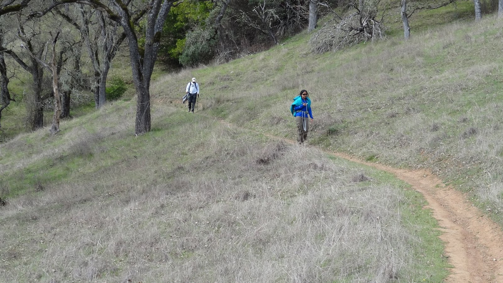
We reached Madrone camp site and from there took the Madrone trail which had a good steep ascent. This was quite exhausting and would be a very good place to practice with backpack weighing about 30kgs. For the first time, well no. For the second time on a hike with few trail markers, I felt like I was back in the beautiful Western Ghats in India. We reached the parking lot at 1345hrs. After a small break (I really mean small - 10 mins), we headed back to the city. It was a wonderful half a day hike with an average distance of 11 miles.Info:
Map/Trail info: EveryTrail
Ideal time to visit: Just after winter and rains. Definitely before summer.
How to get there: Check EveryTrail above for address.
Gear Required: None. Just a good pair of shoes. There is enough water so I’d say there’s no need to carry water either (Just saying :-P Do carry water).
Google Sites
Report abuse